Maps of
Southwestern Poland

Most ethnic Poles were relocated after WWII from what became the Ukrainian Soviet Socialist Republic in the USSR to the then newly acquired western Poland.

Many Poles from Lwow resettled to the large city Wrocław (named Breslau by the Germans).

Most Poles from the larger village of Usznia resettled to the village of DomaniówDomaniów is located today in the województwo (province) Dolnośląskie (Lower Silesia), in the powiat (county) of Oława, about 30 km south of Wrocław (which before WWII was referred to in German as Breslau).

Most Poles from the smaller village of Czeremosznia resettled to the village of Kurznie.  Kurznie is located today in the województwo (province) of Opole, in the northern part of the powiat of Opole, in the gmina of Popielów, about halfway between Brzeg and Opole.
 

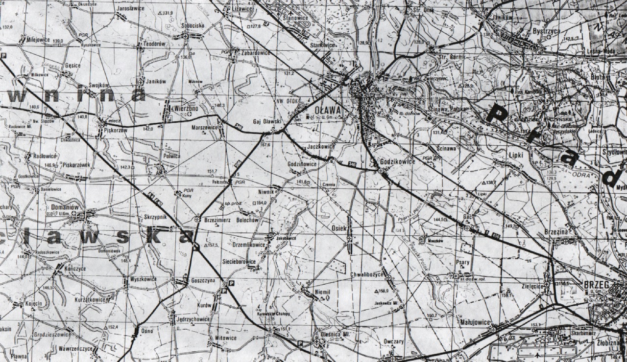
Powiat (county) of Oława, southwest of Wrocław. Domaniów is located southwest from Oława.

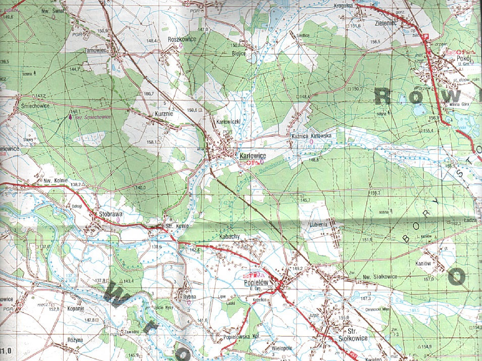
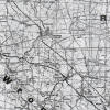
Map of area around Kurznie, just northwest from Karłowice.
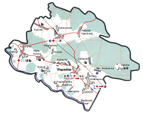
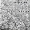
Map of the gmina of Popiew. Kurznie is in the upper left.

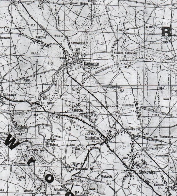
Close up of region around Kurznie and Karłowice.

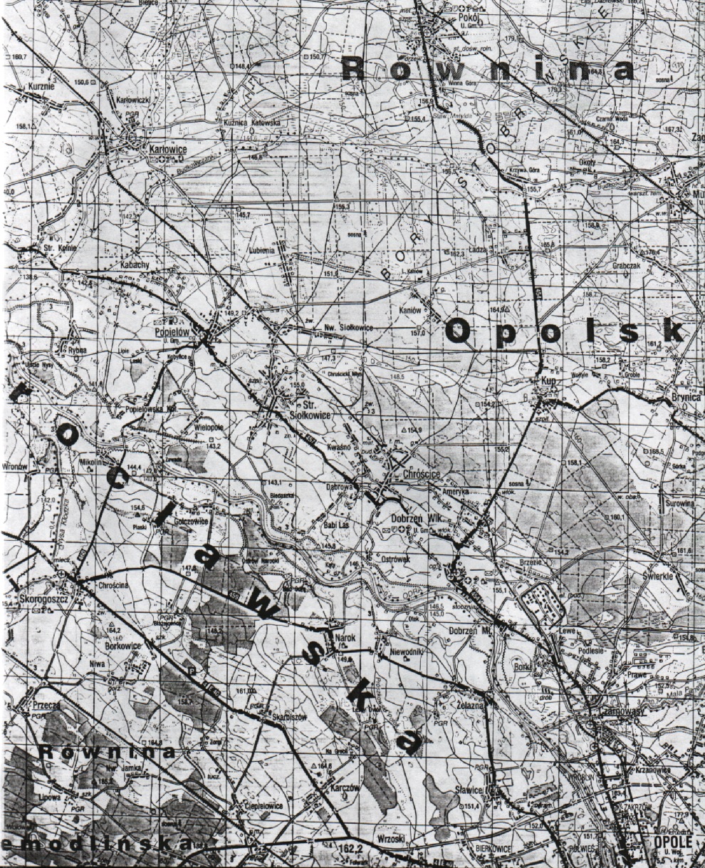
Illustrating distance from Kurznie to Opole. Kurznie is in the upper left. Opole is in the far bottom right.


www.halgal.com            Questions and Comments to Matthew Bielawa
Copyright
©2002     All rights reserved